


Mullertal Route 2 - Dag 1 - Van Berdorf naar Bech
May 04, 2023
by  @teddyberend@wanderer.vnvie.ws
Difficult
Not completed
Description

No description for now...
Route
Start
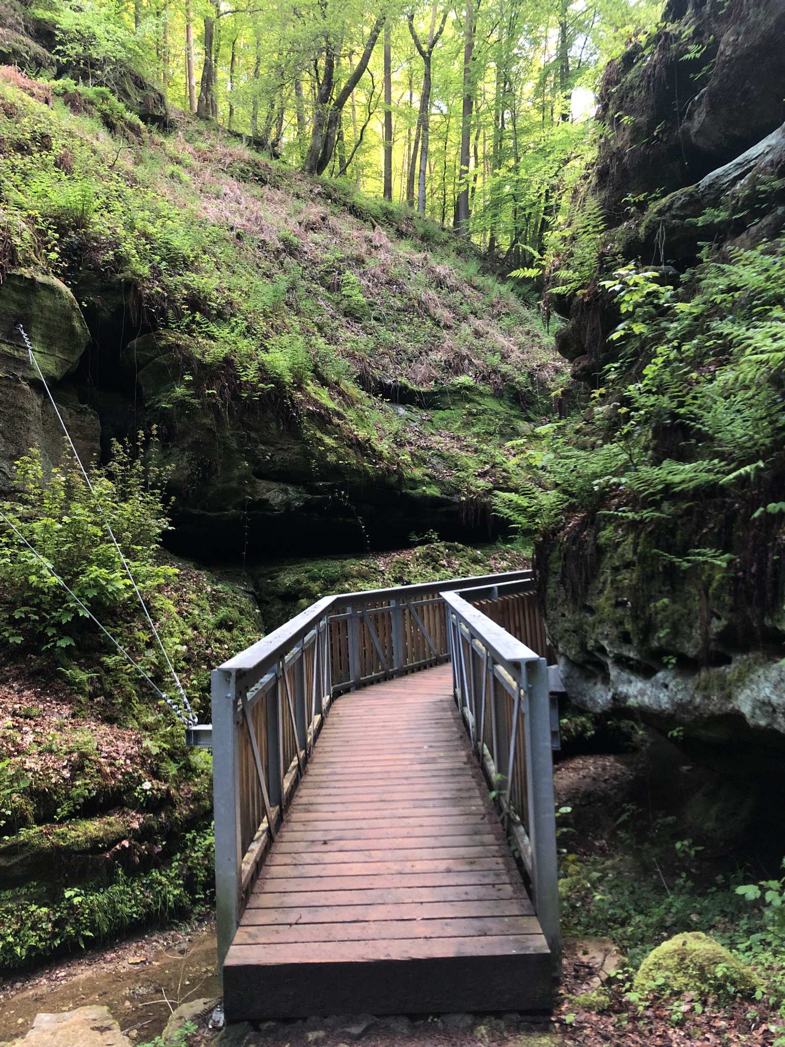
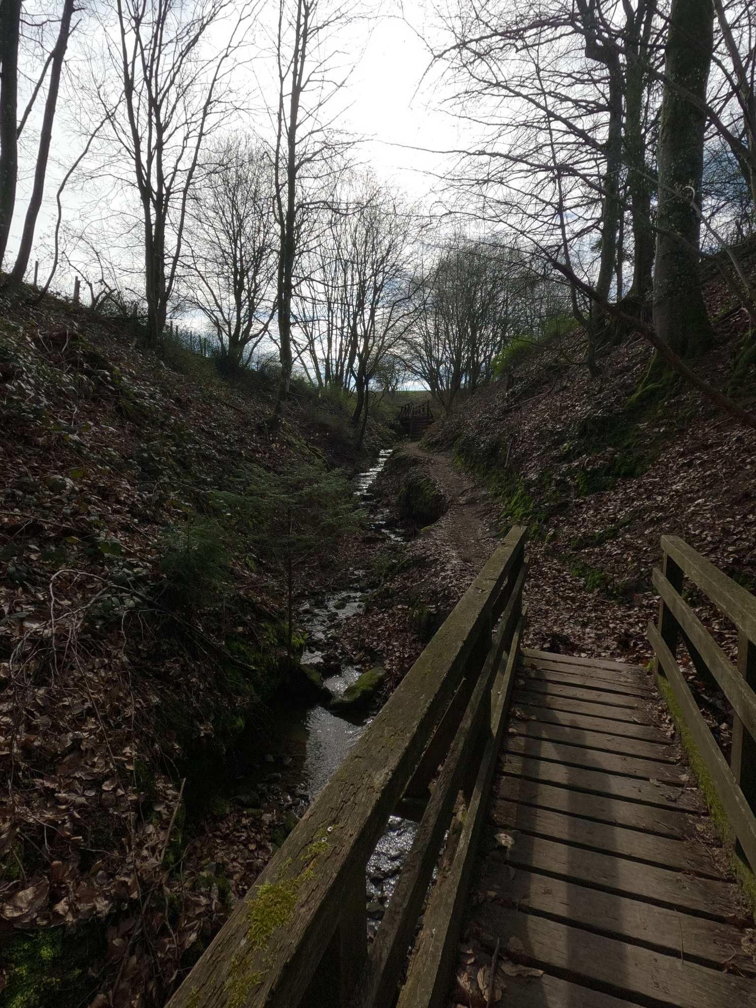
Chipkapass Wooden Bridge and Gorge
49.81515, 6.35945Die Wanderung durch diese Schlucht bzw. Bachtal ist sehr interessant. An dieser Stelle wurde mit interessanter Konstruktion ein Holzsteg in eine enge Stelle zwischen die Felsen und über den Bach eingebaut. Bisschen der Eindruck wie ein Weg durch eine Klamm....Interessante Stelle!
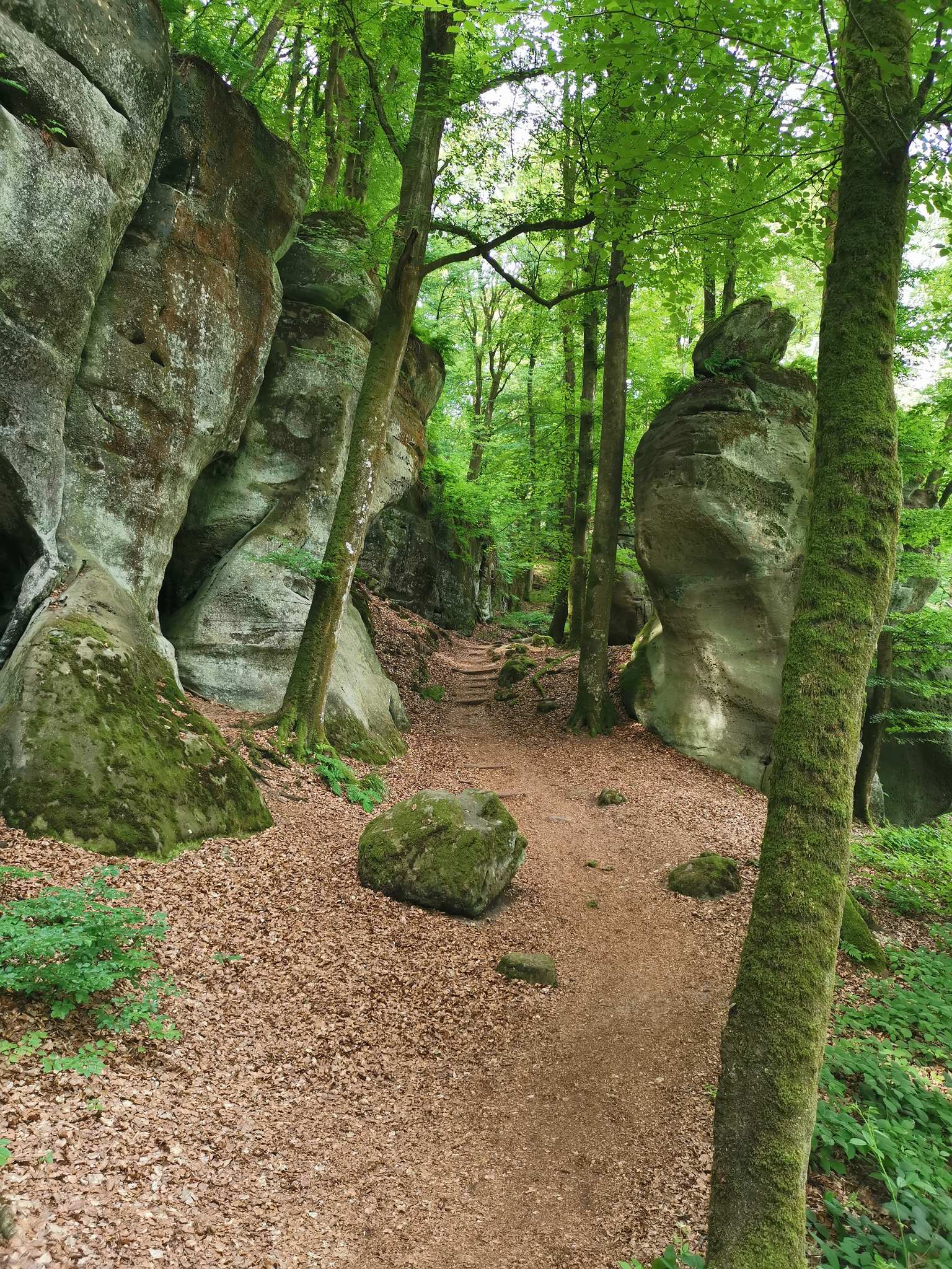
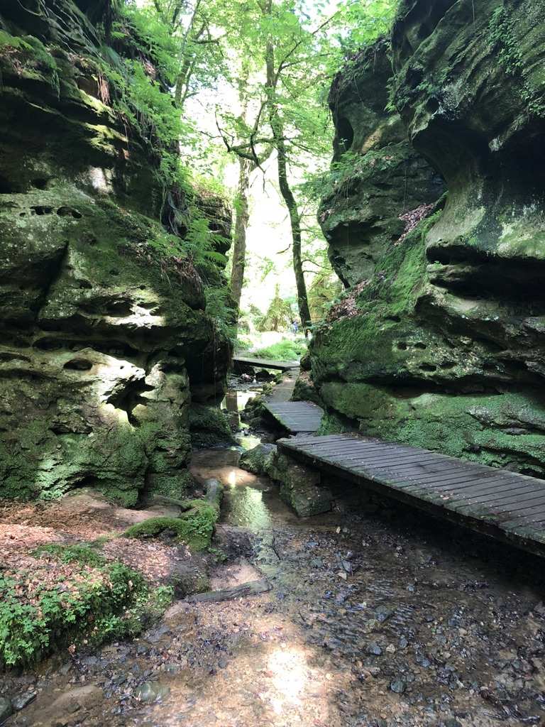
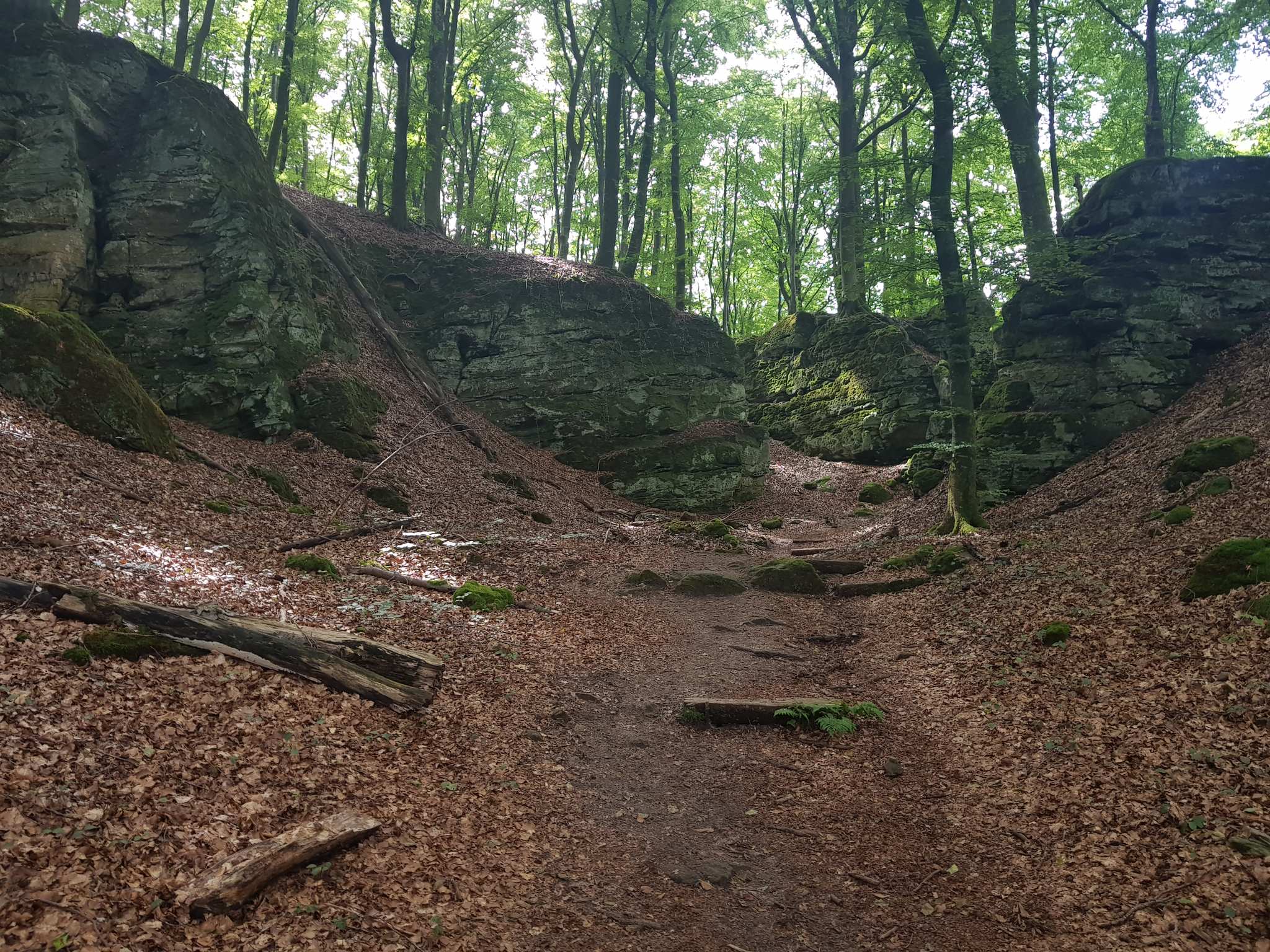
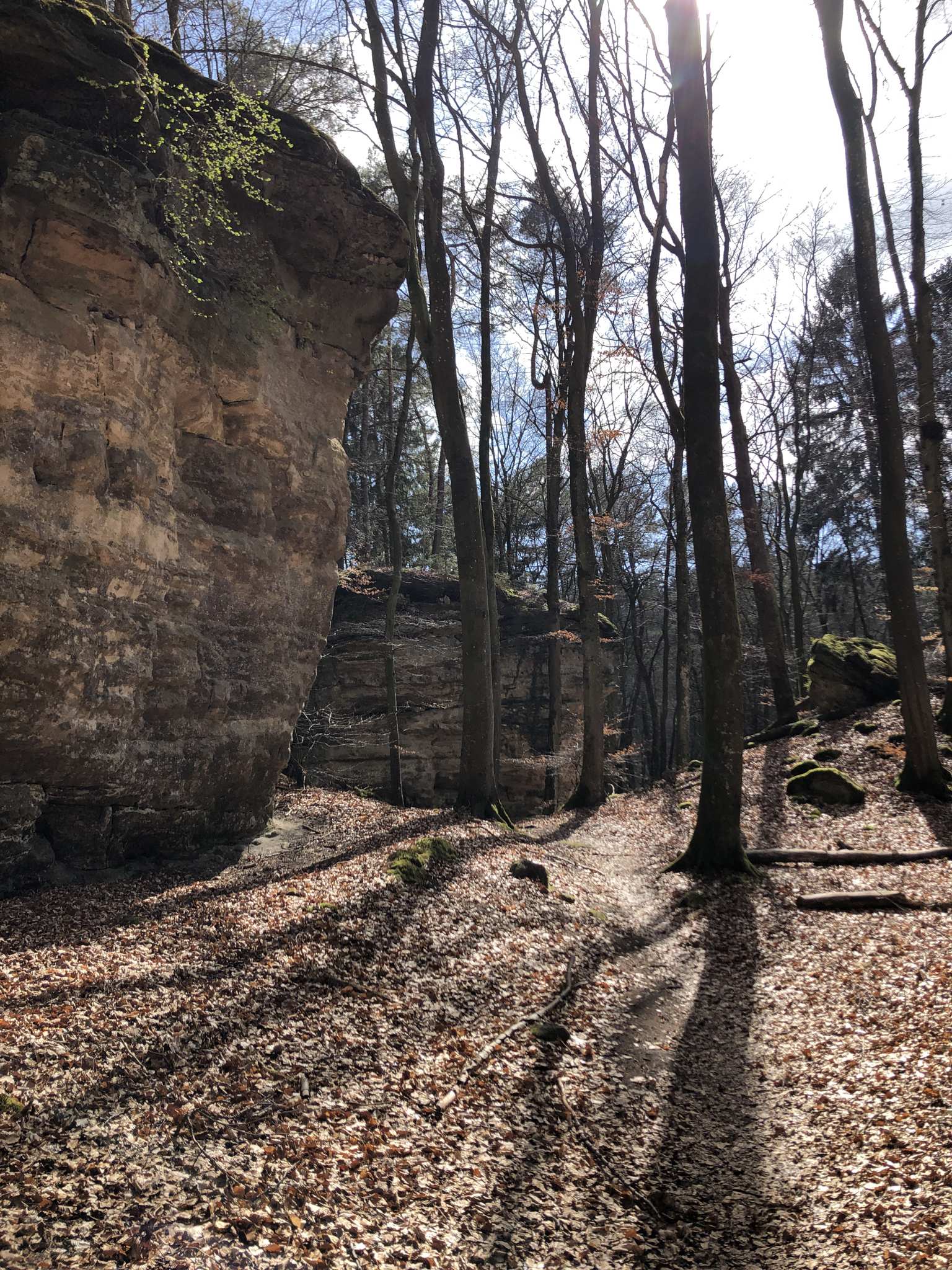
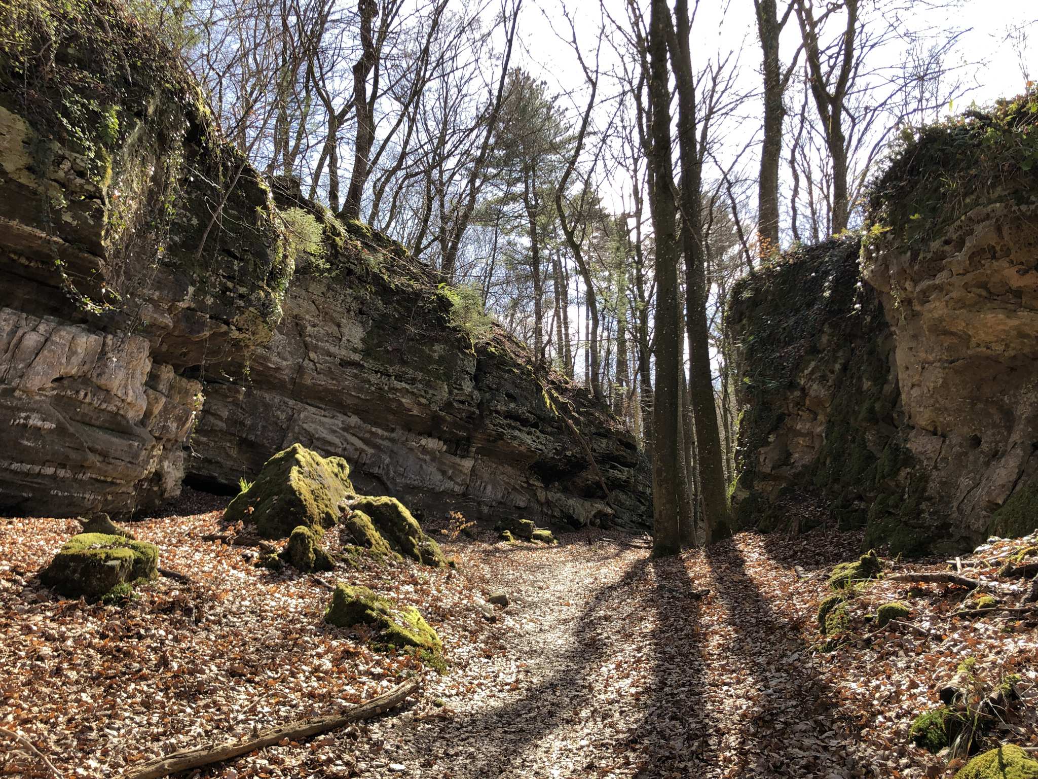
The Labyrinth (Mullerthal Trail)
49.81684, 6.38041Dit gedeelte draagt terecht de naam "labyrinten". Je gaat rechts en links tussen de rotsen door. Gewoon prachtig om van te genieten!
Wolfsschlucht (Echternach Gorge)
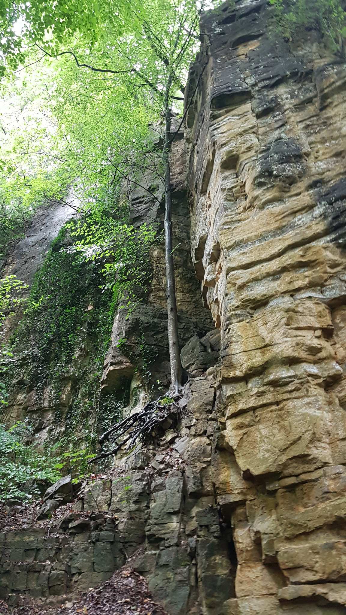
49.81599, 6.40127Cet endroit est stupéfiant ! Avec ses parois rocheuses s'élevant jusqu'à 50 mètres sur trois côtés, vous vous y sentez vraiment petit. Selon les recherches, les formations ont été créées lorsque des blocs de grès luxembourgeois se sont séparés du plateau gréseux le long de fissures parallèles à la vallée.
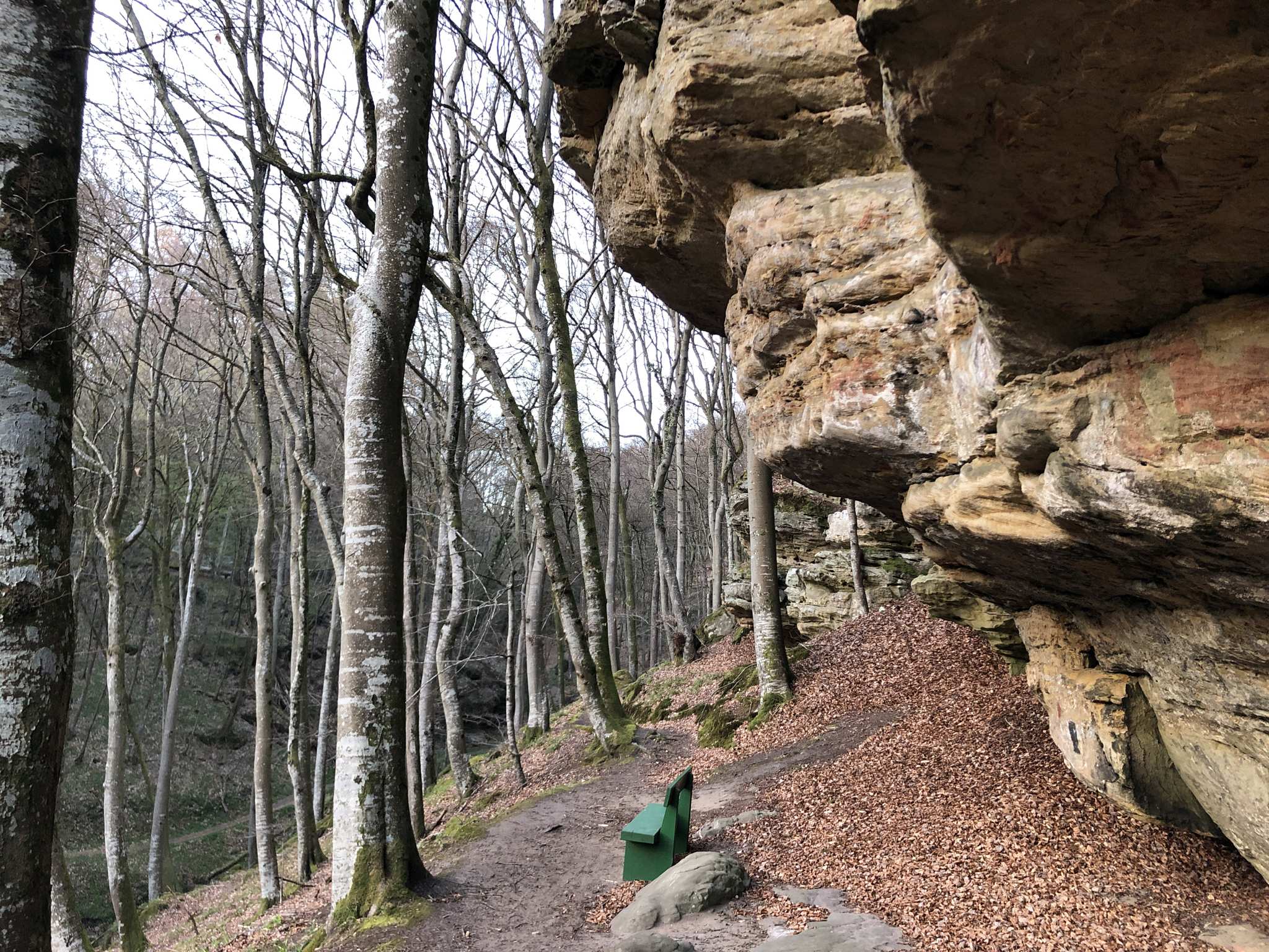
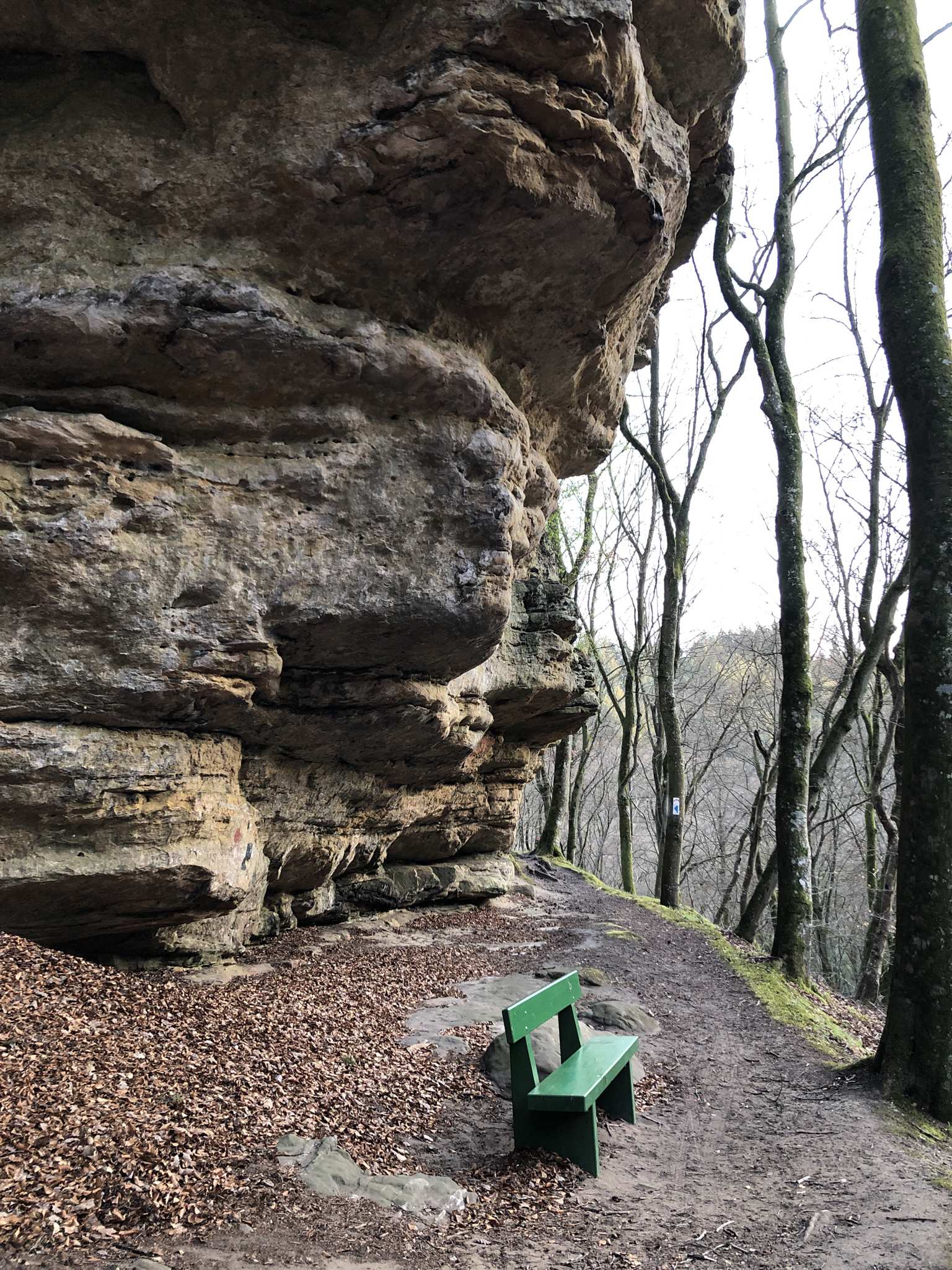
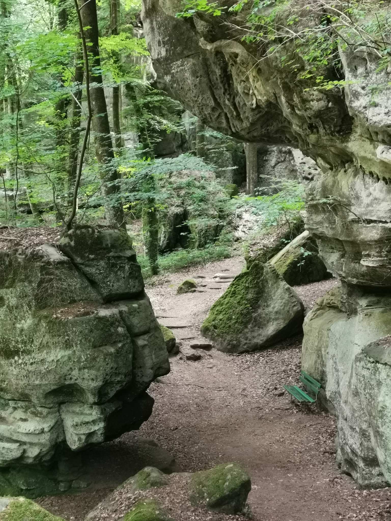
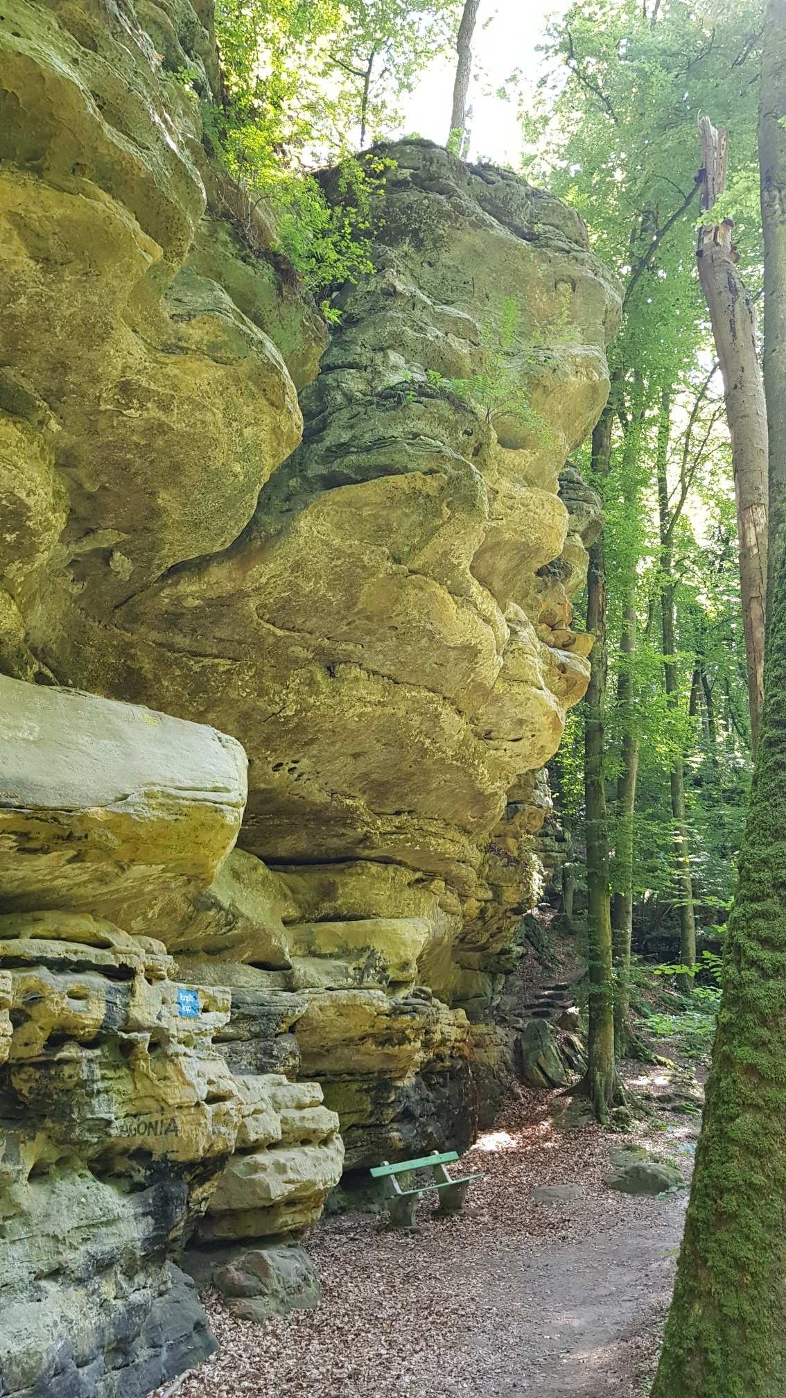
Bench at the Rock Formations on the Mullerthal Trail
49.79918, 6.37749Hierhin lohnt sich der Schlenker vom Lauterburerbaach.
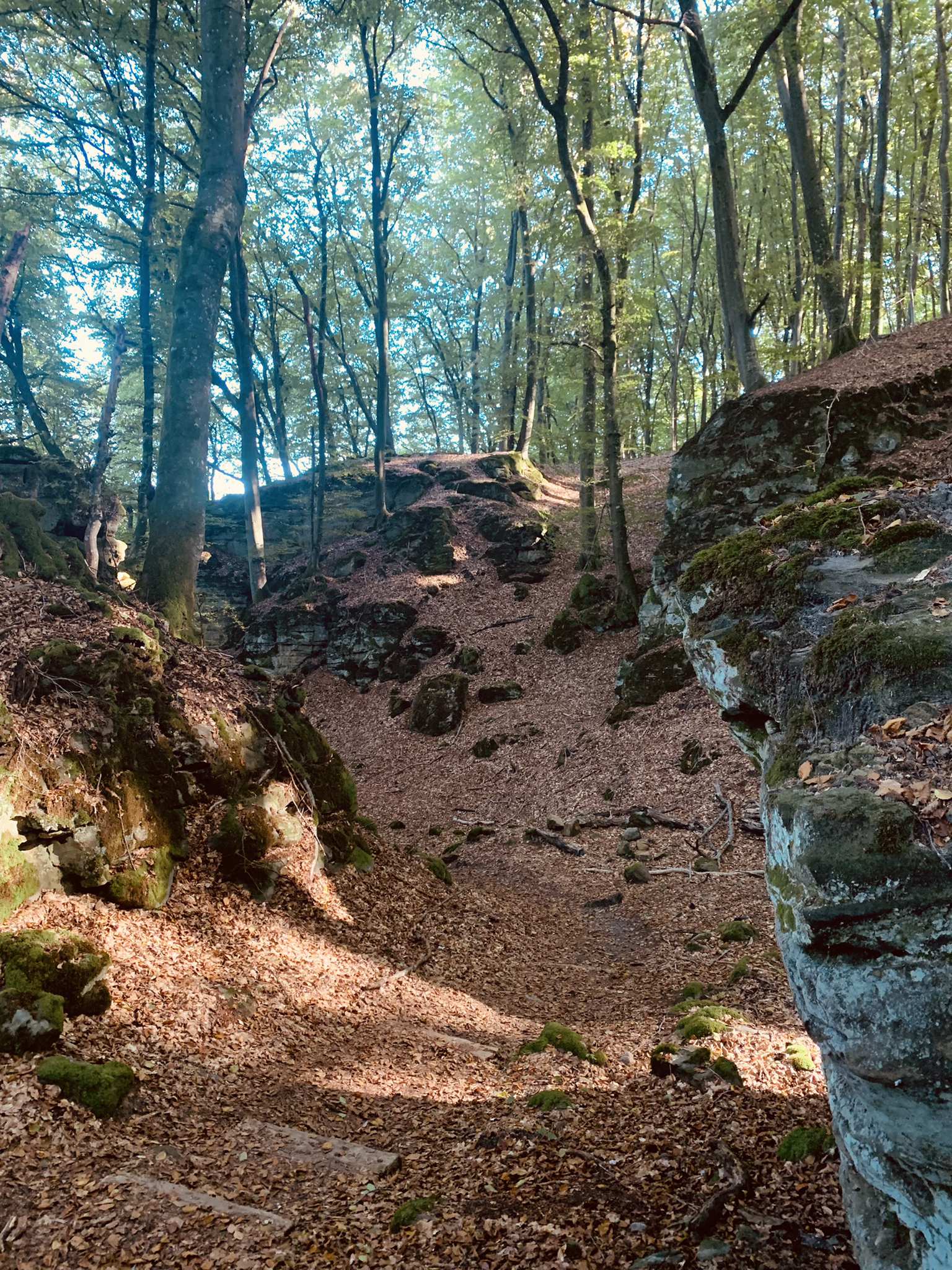
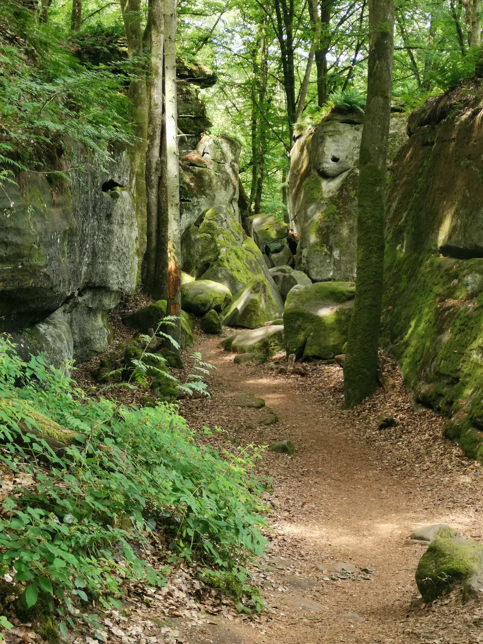
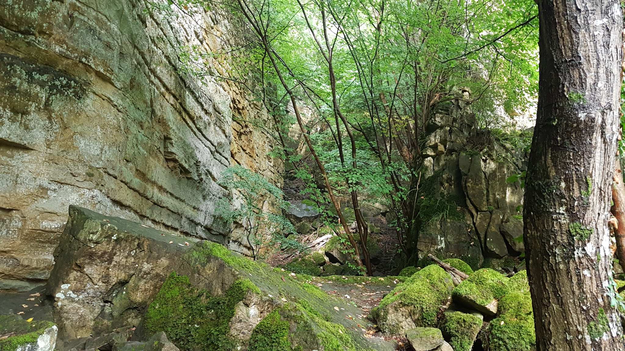
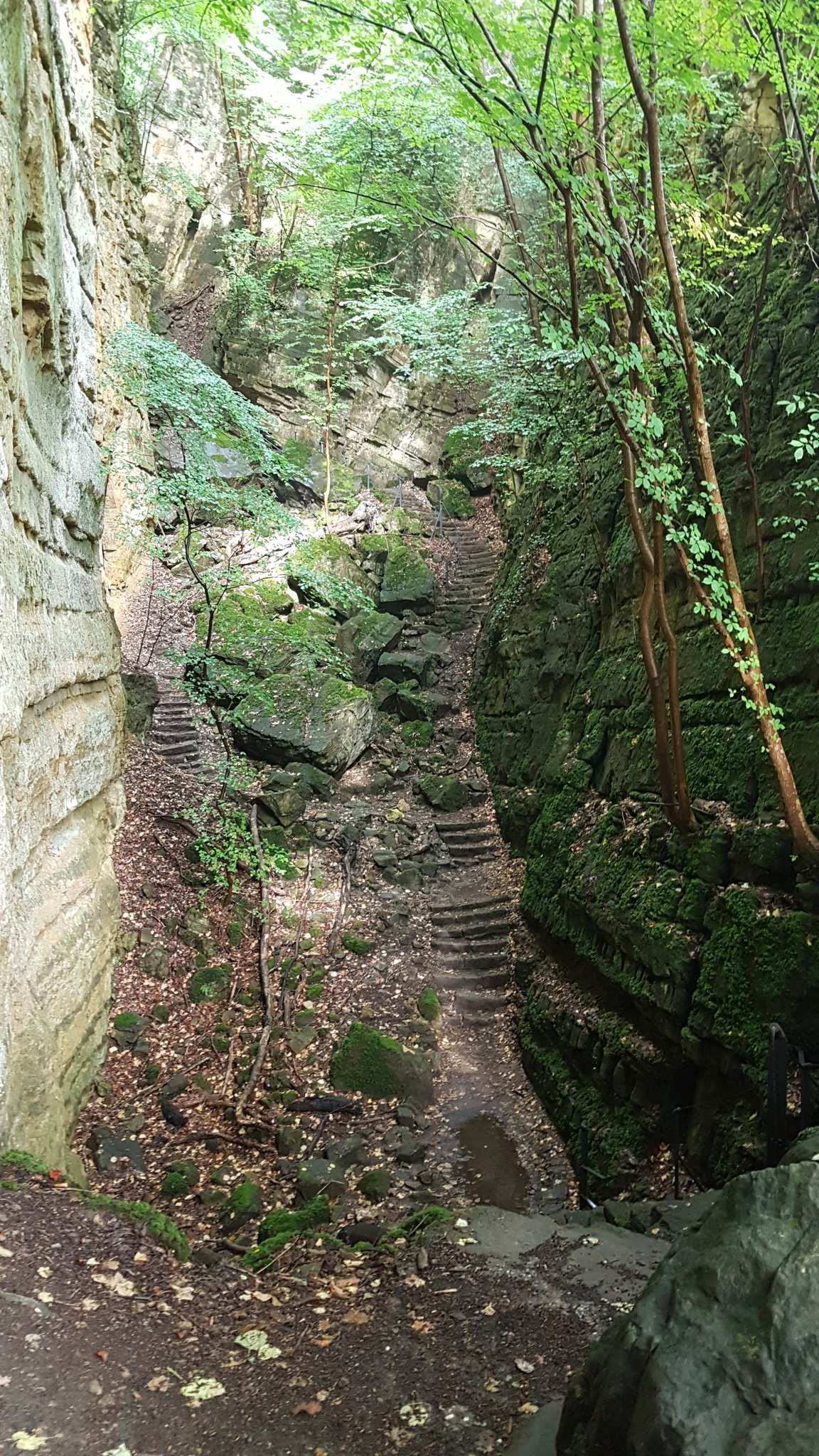
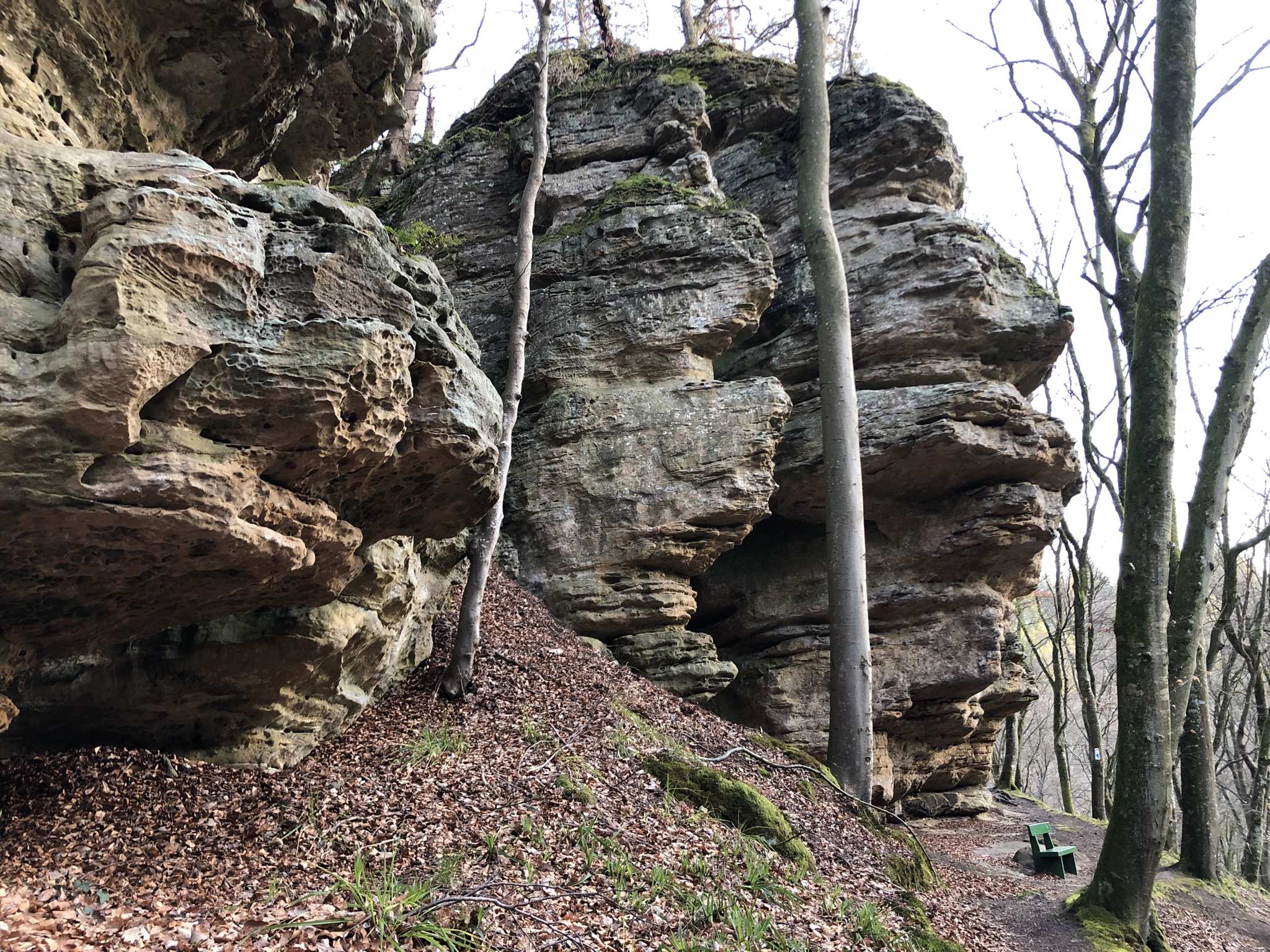
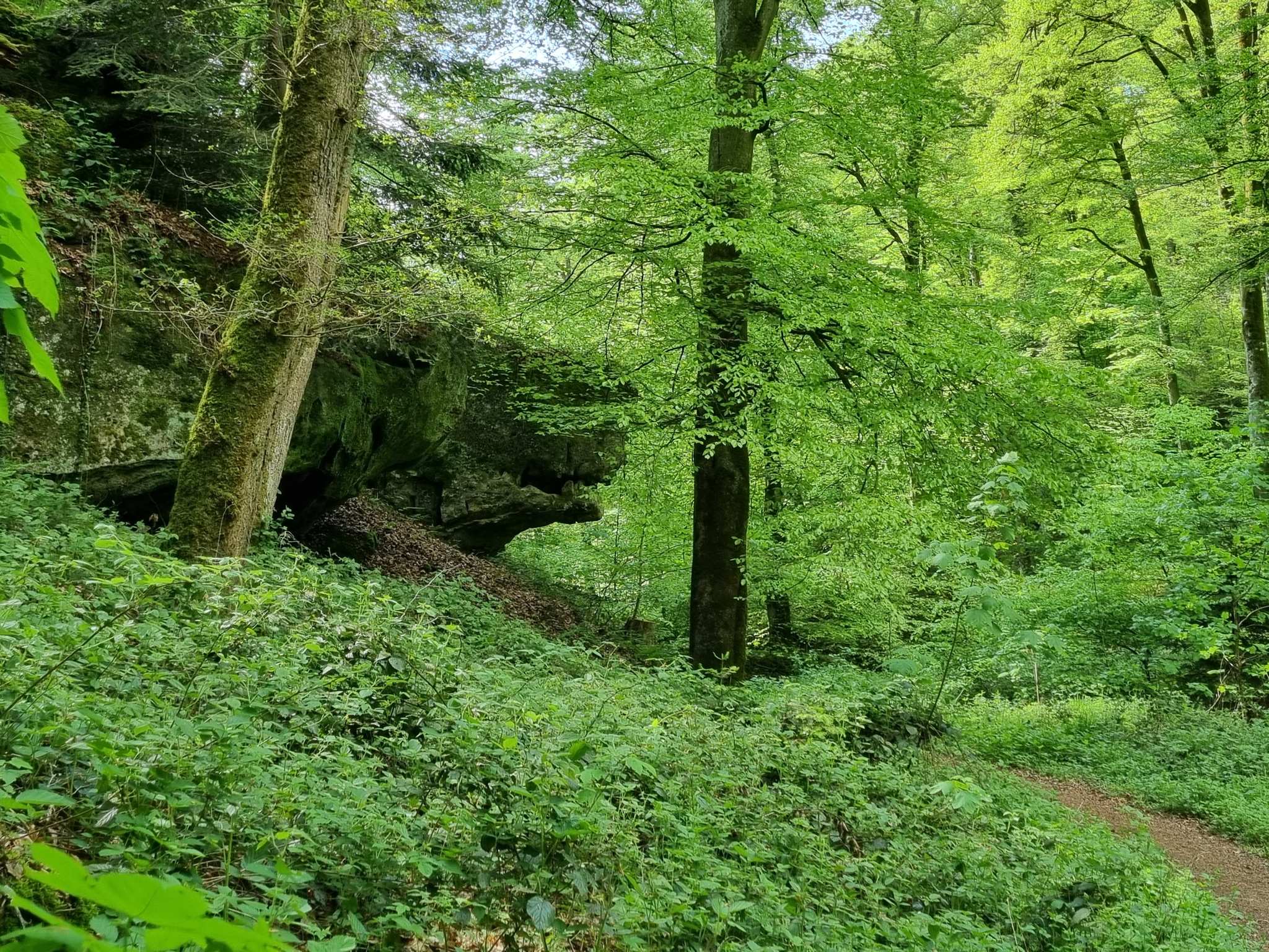
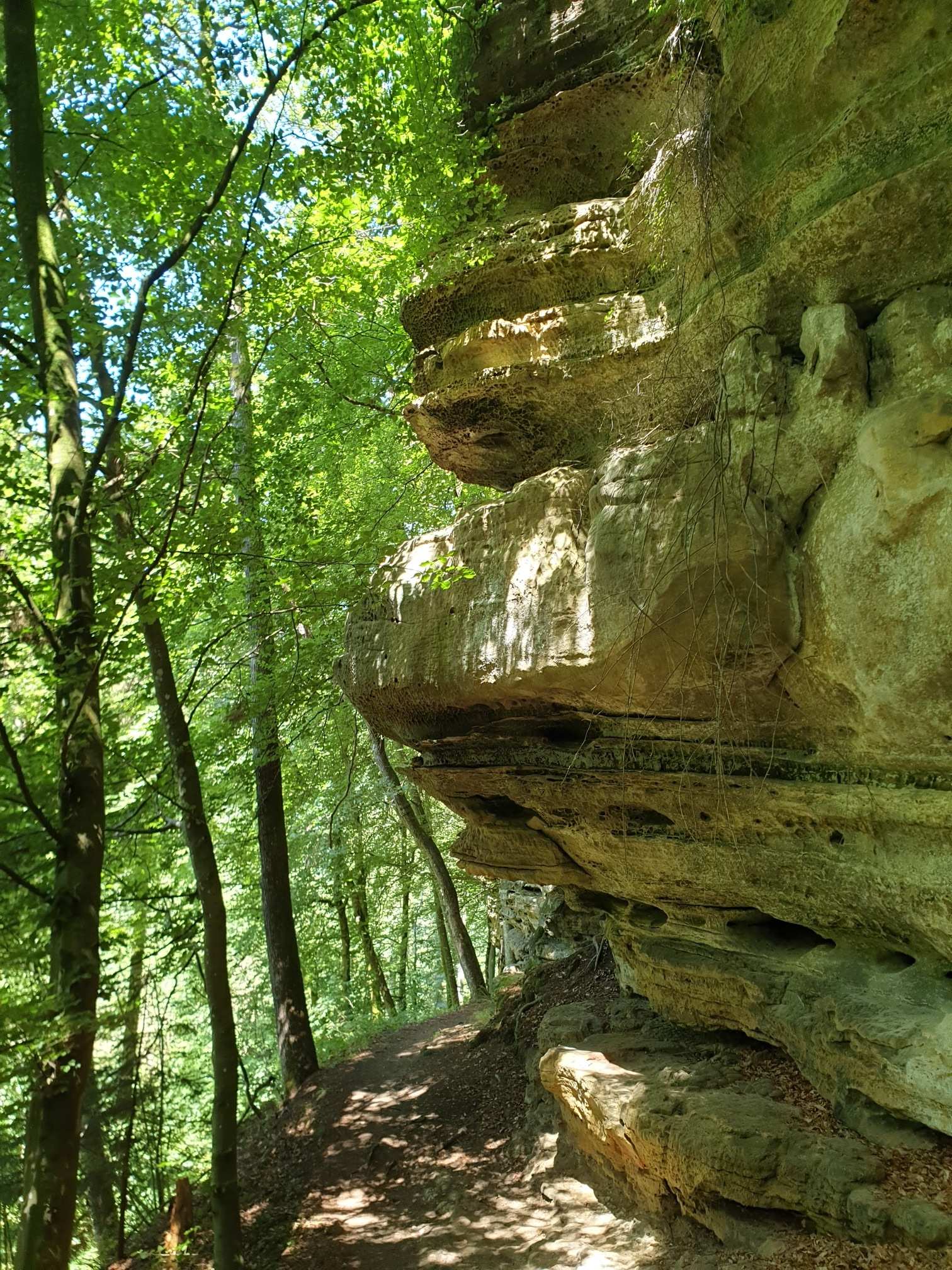
Rocky Trail on the Mullerthal Trail
49.79470, 6.36913Herrlicher Wegabschnitt entlang hübscher Felsen... typisch für den Mullerthal Trail
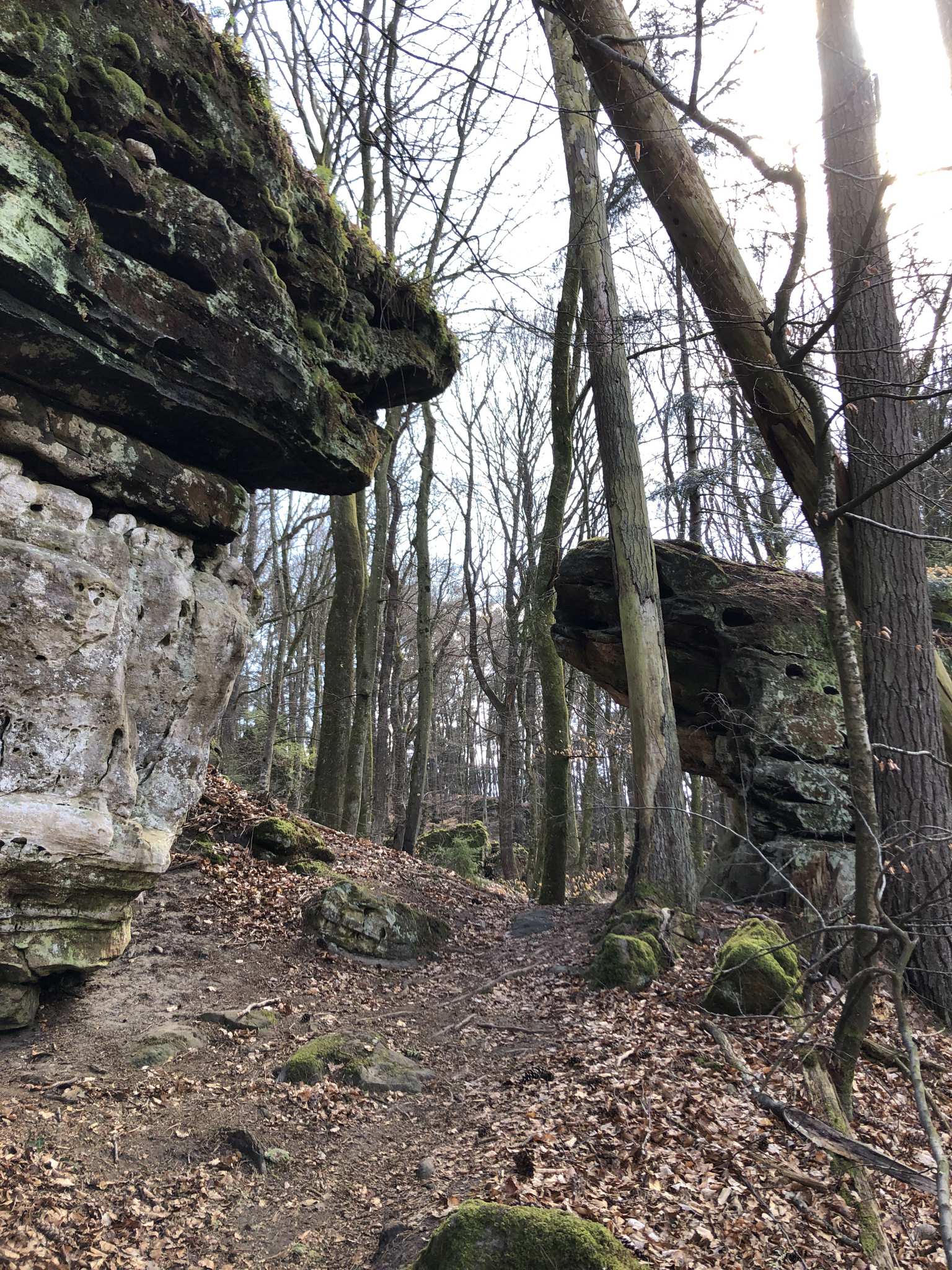
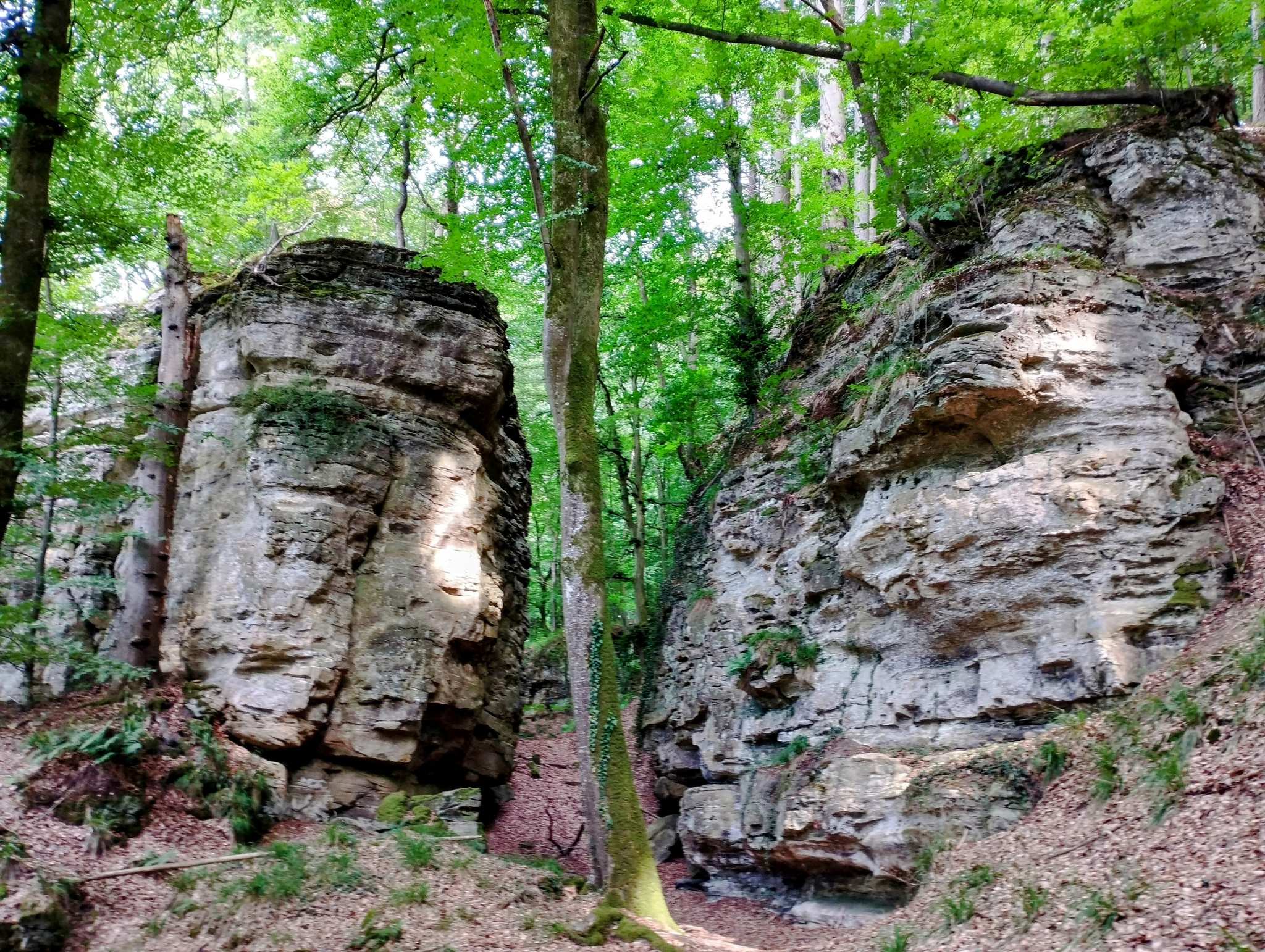
Rock formations in Müllerthal
49.79337, 6.36251The Nature and Geopark Mëllerdall is an invitation to experience geology at its best.
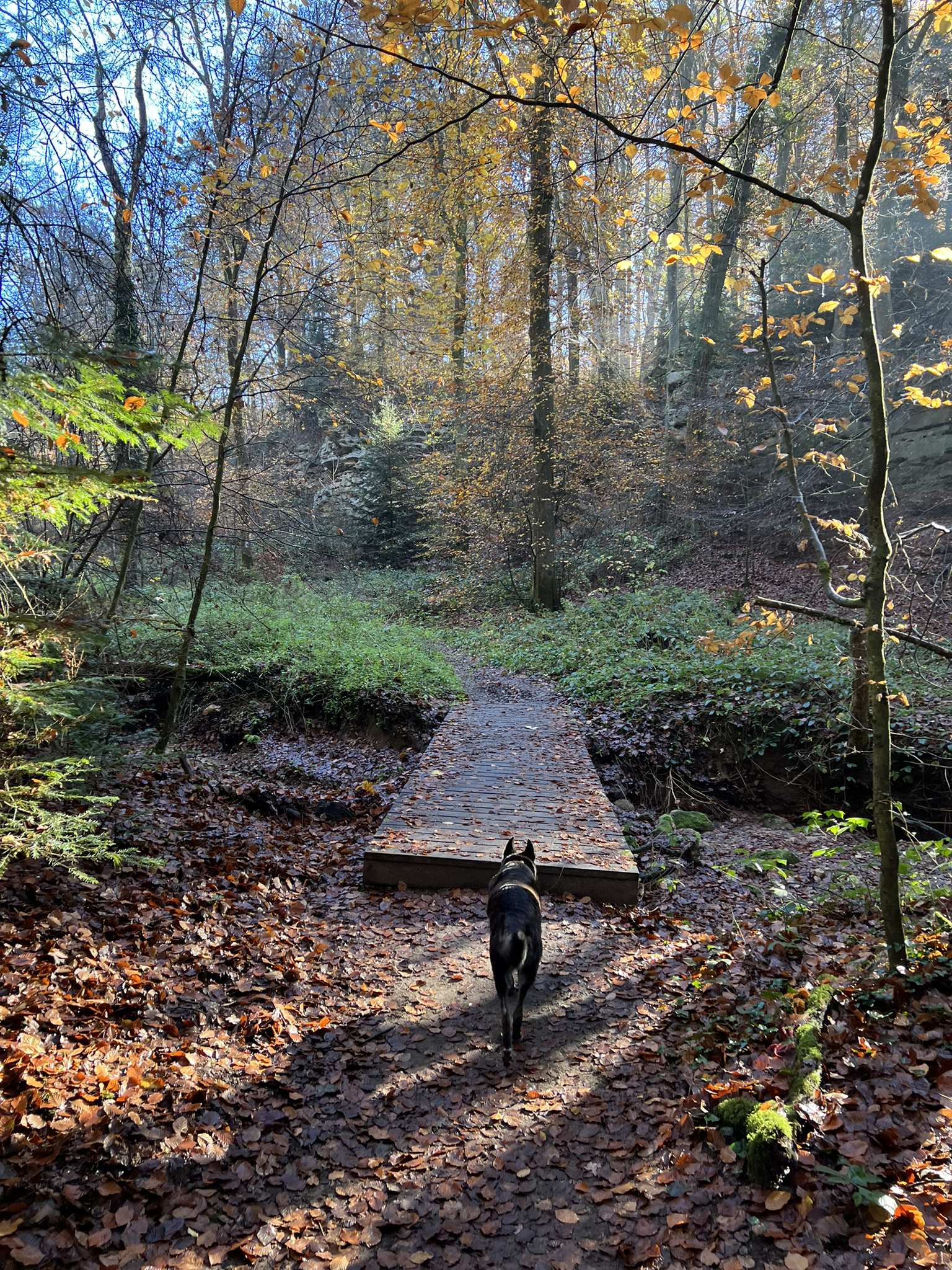
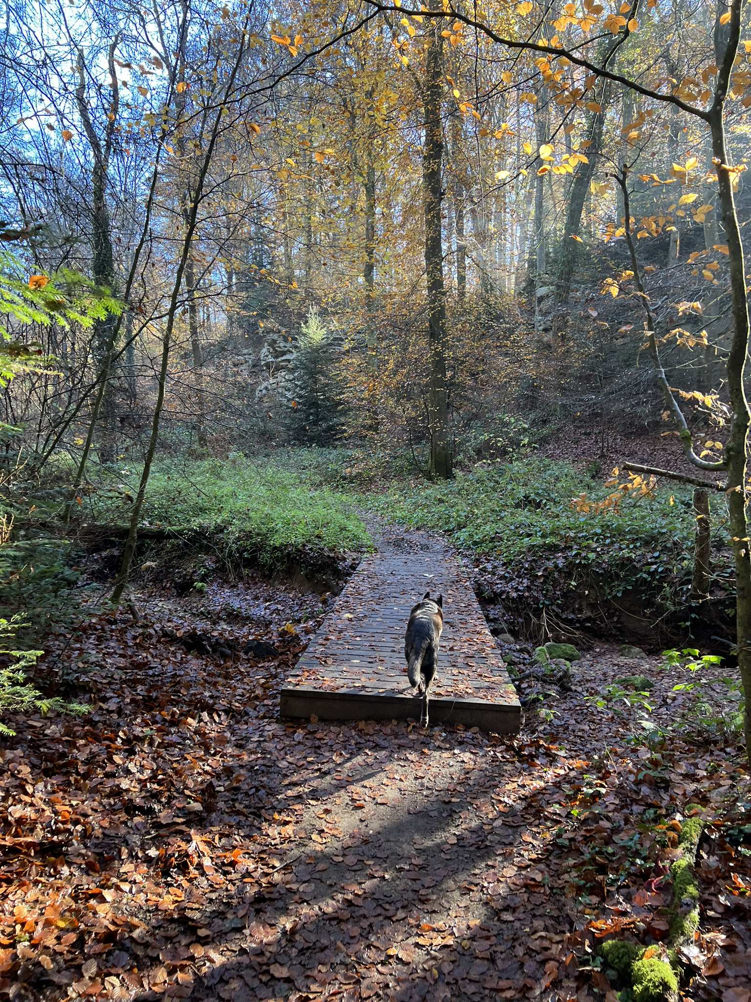
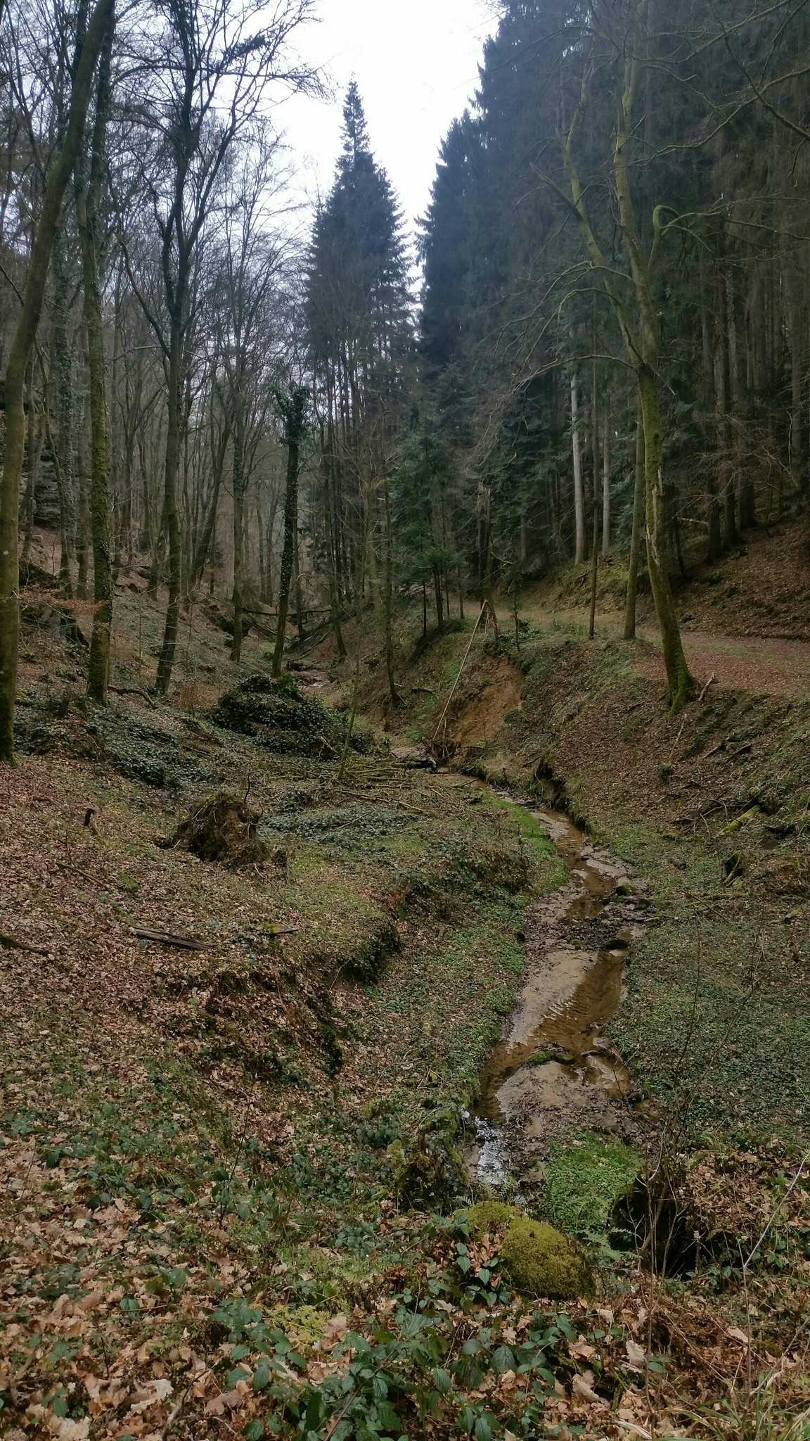
Bridges Over Lauterburerbach and Aesbach
49.78914, 6.36371Im Herbst ganz besonders schön
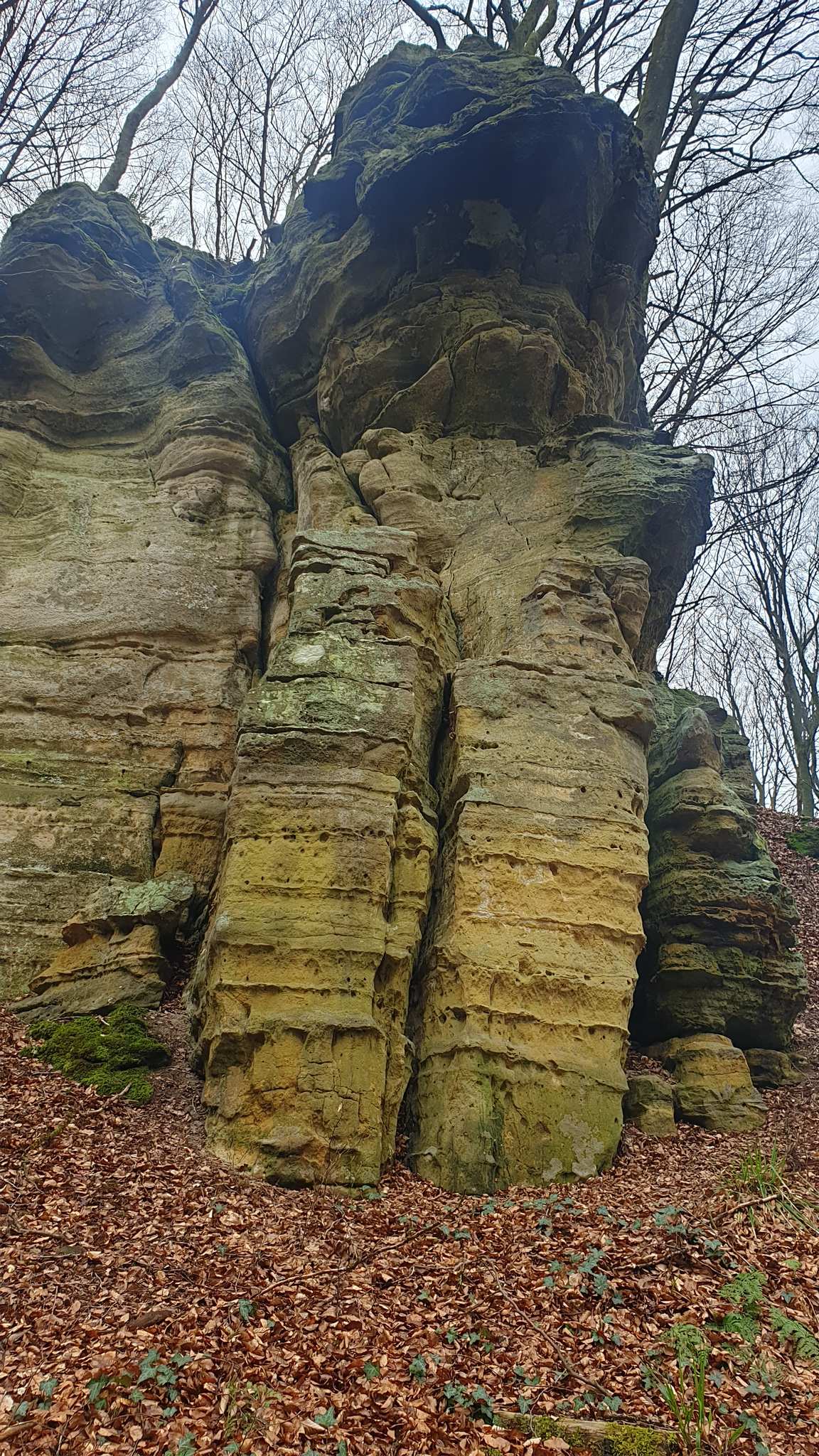
Wolfsfang Rock Formation
49.78879, 6.36629Auf dem Web Richtung Echternach entdeckt man diese Felsformation. Mit etwas Fantasie erinnert sie an einen Wolfsfang oder ein Drachenmaul.
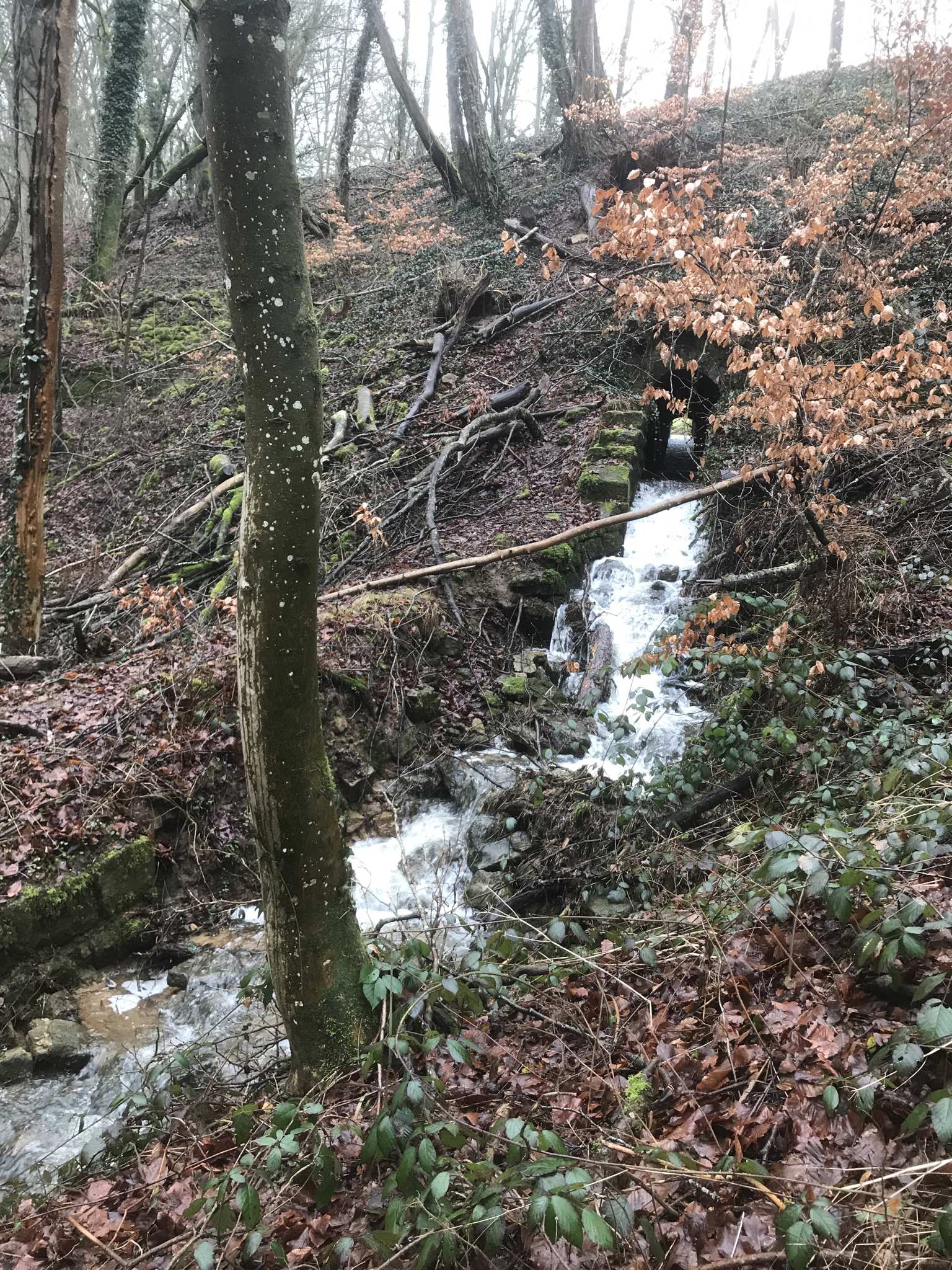
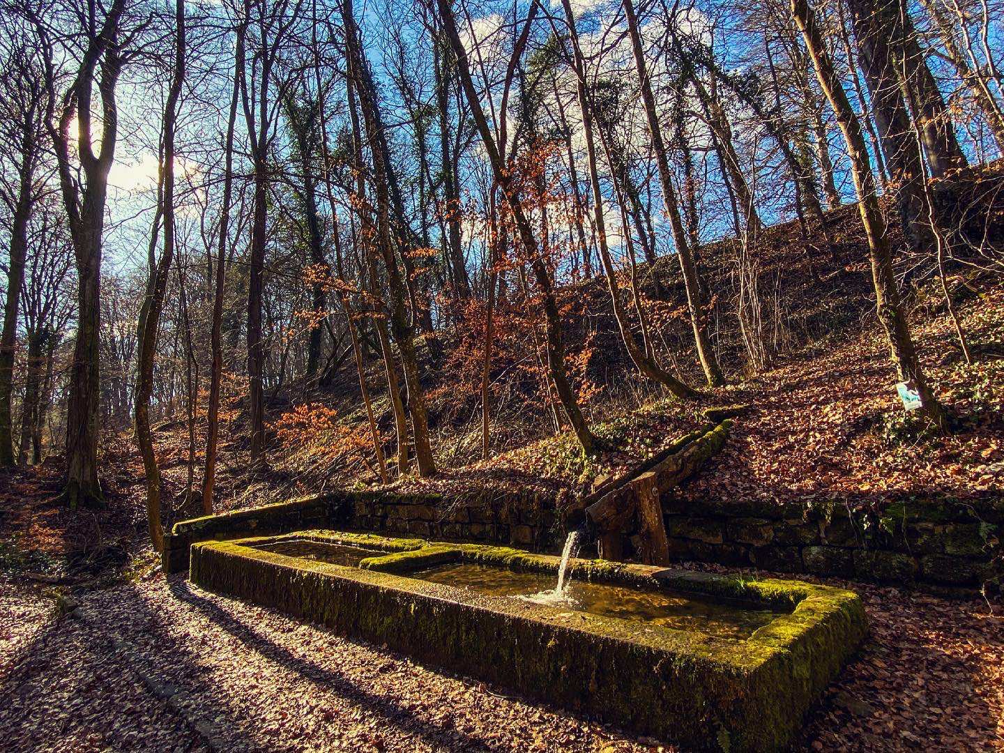
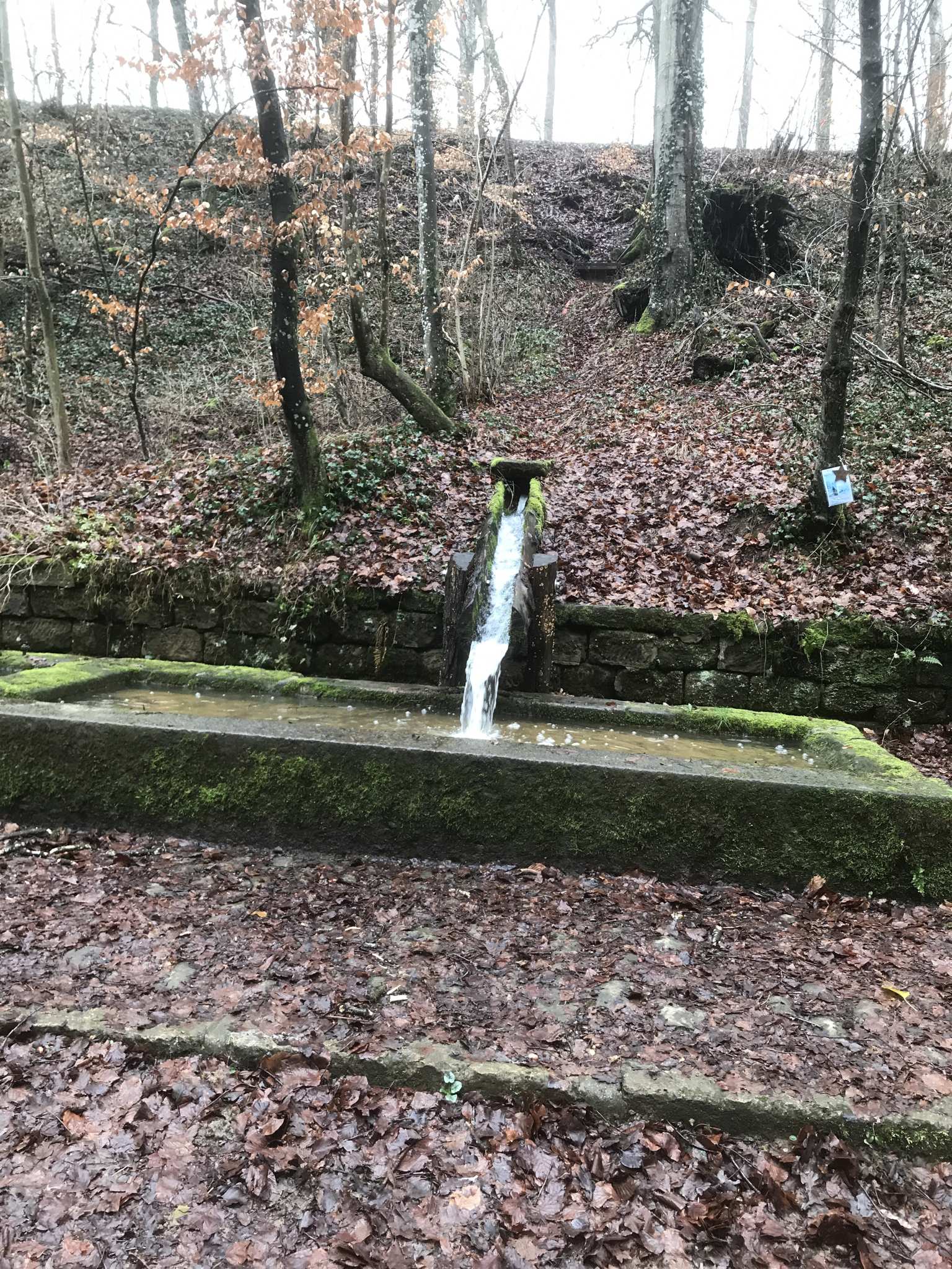
Old Wash Fountain and Waterfall
49.78625, 6.36497Links eine Art "Unterführung" für das fließende Wasser und rechts davon fließt Wasser in eine größeren Trog.
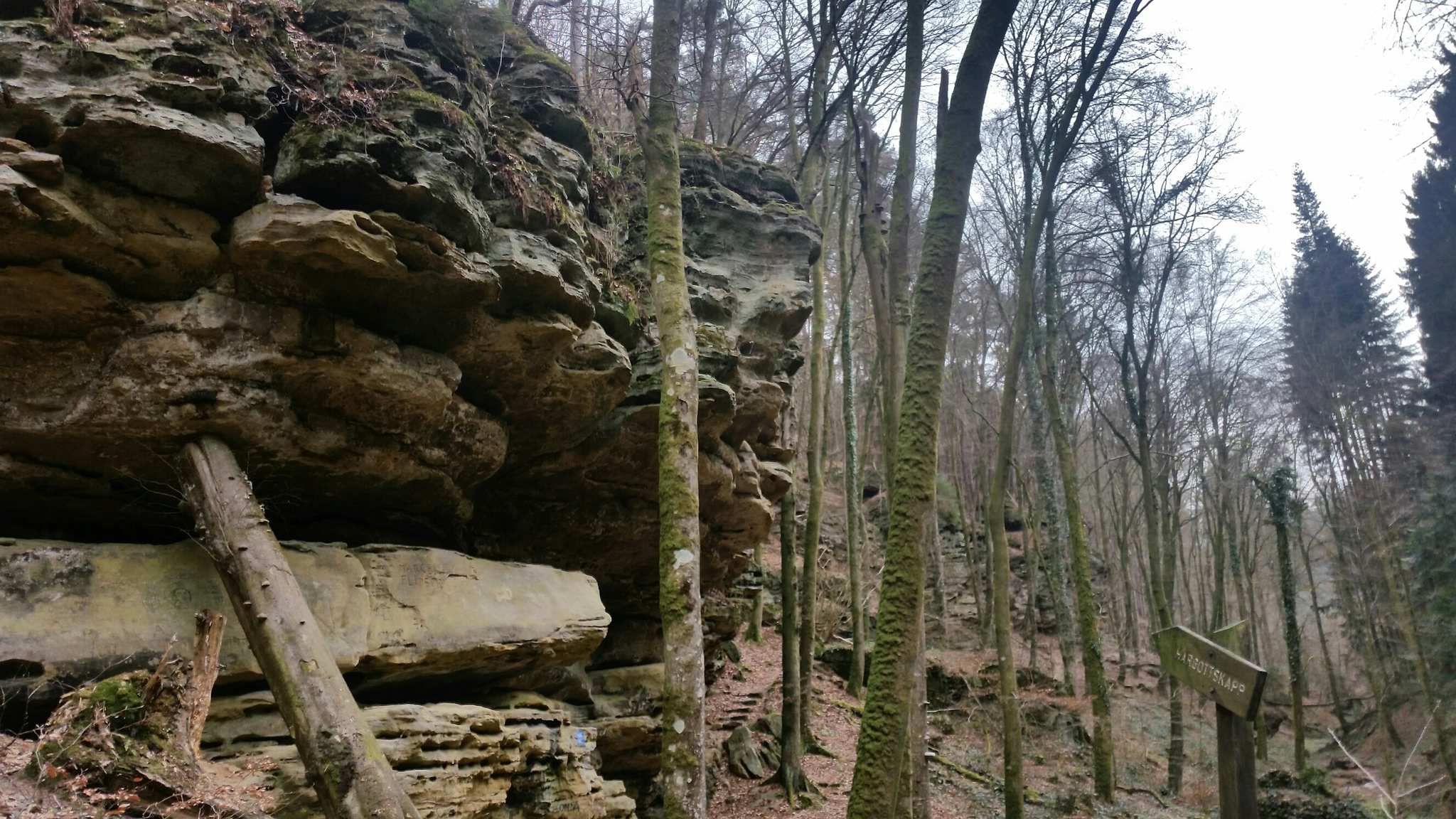
Härgottskapp Rock Formation
49.77690, 6.35717Nice rock formations along the route.
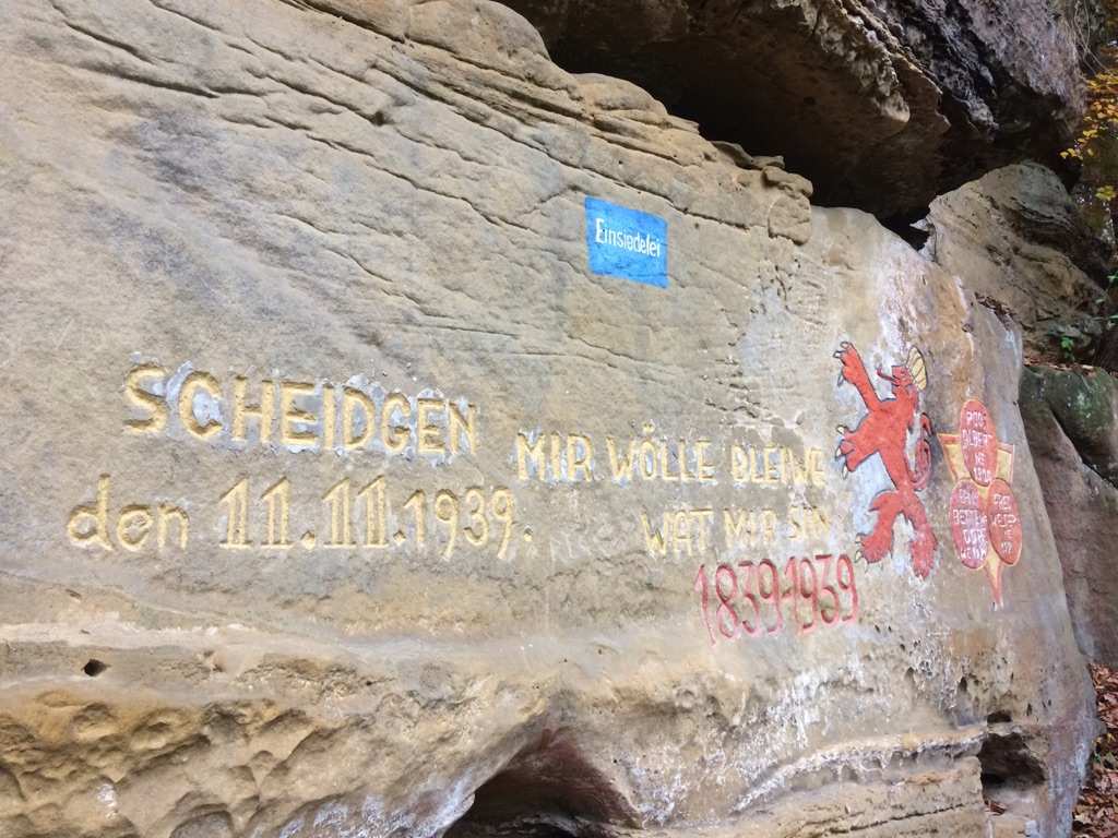
Scheidgen Hermitage Rock
49.77360, 6.35841Funny if your kids go inside the holes in the rock. Like little bugs :)
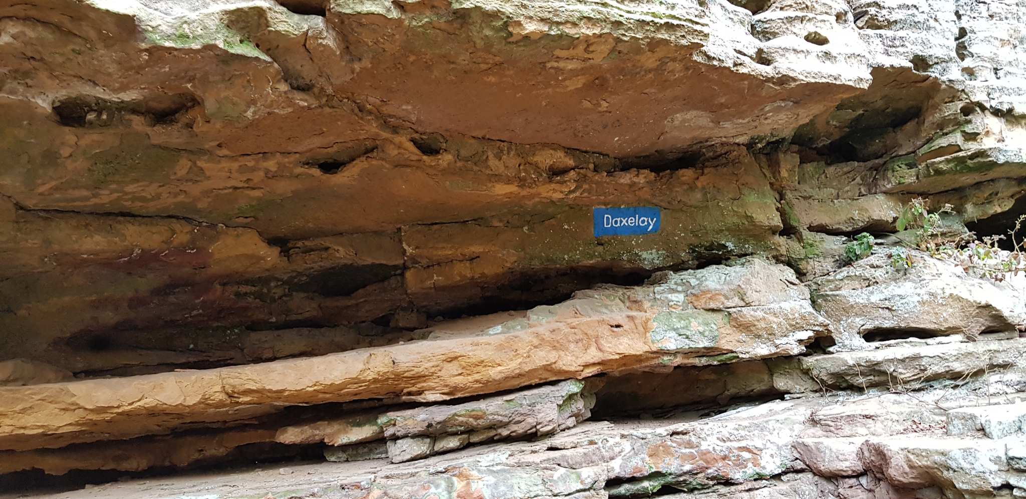
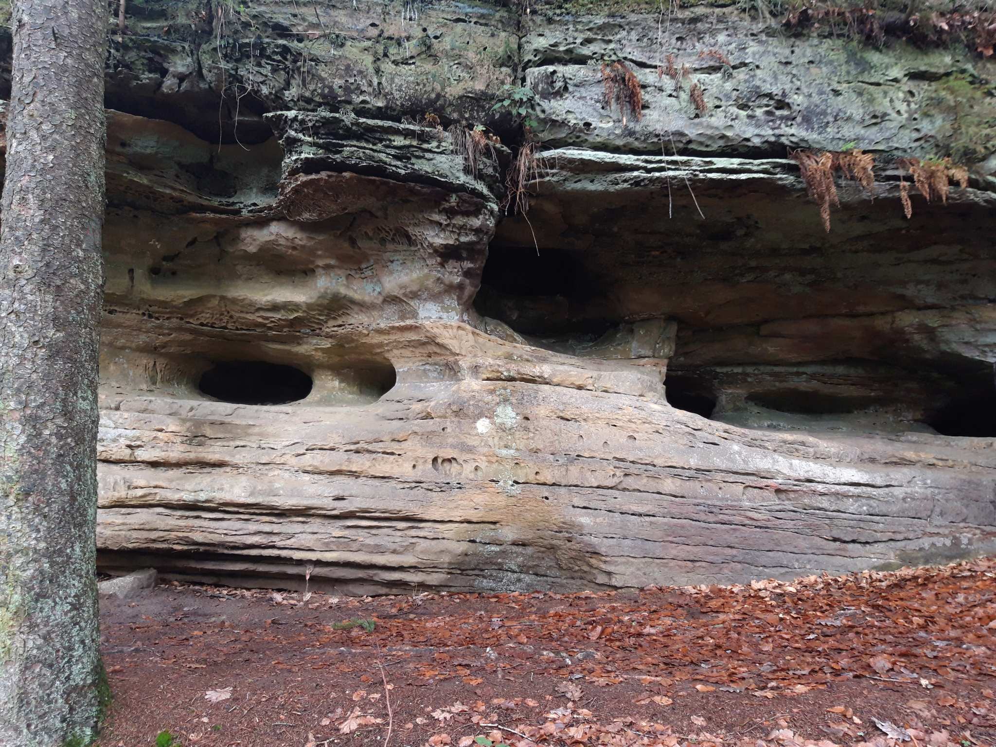
Daxelay Rock Formation and Cave
49.77317, 6.35710Interessante Felsformation
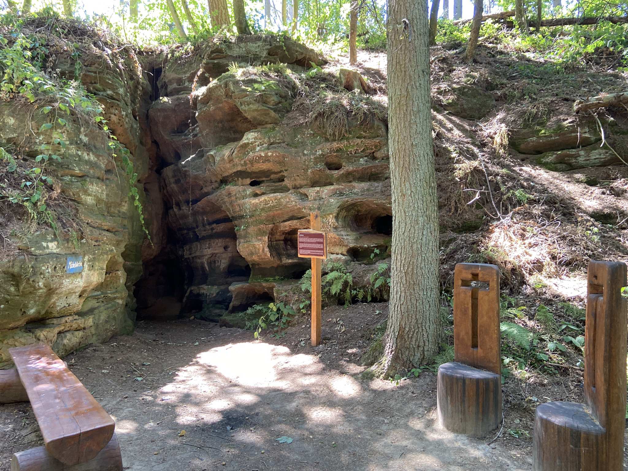
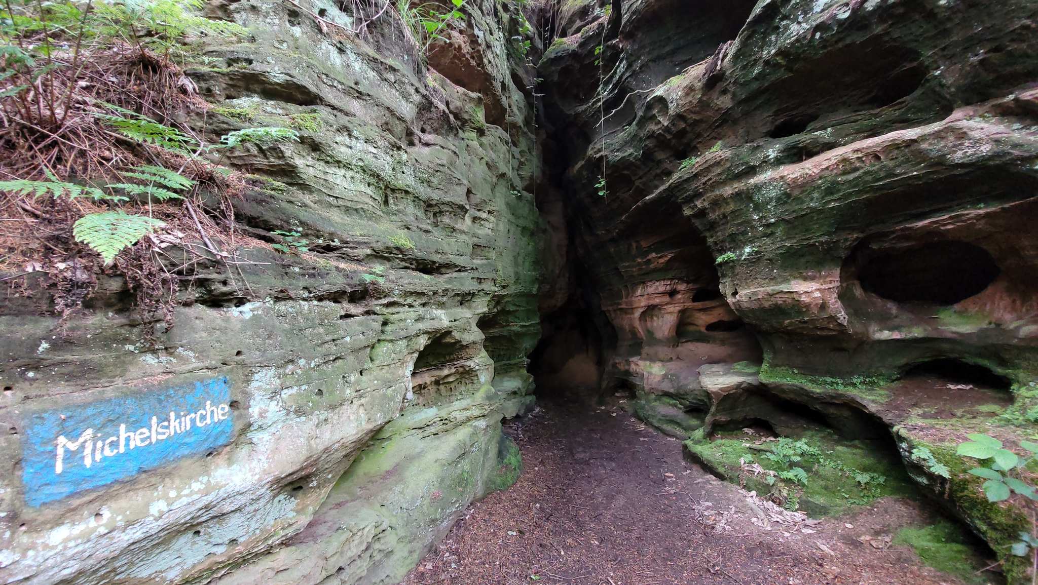
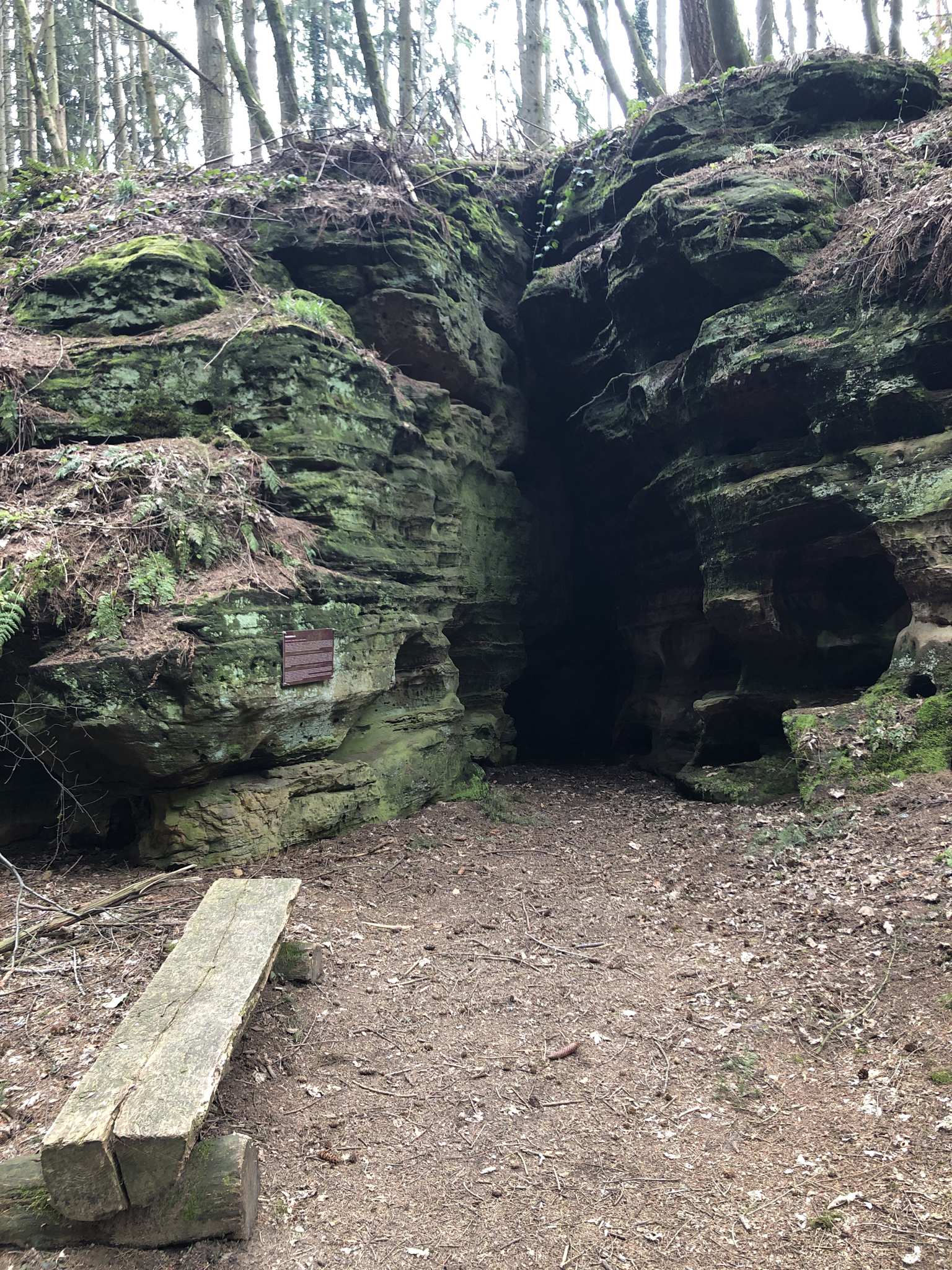
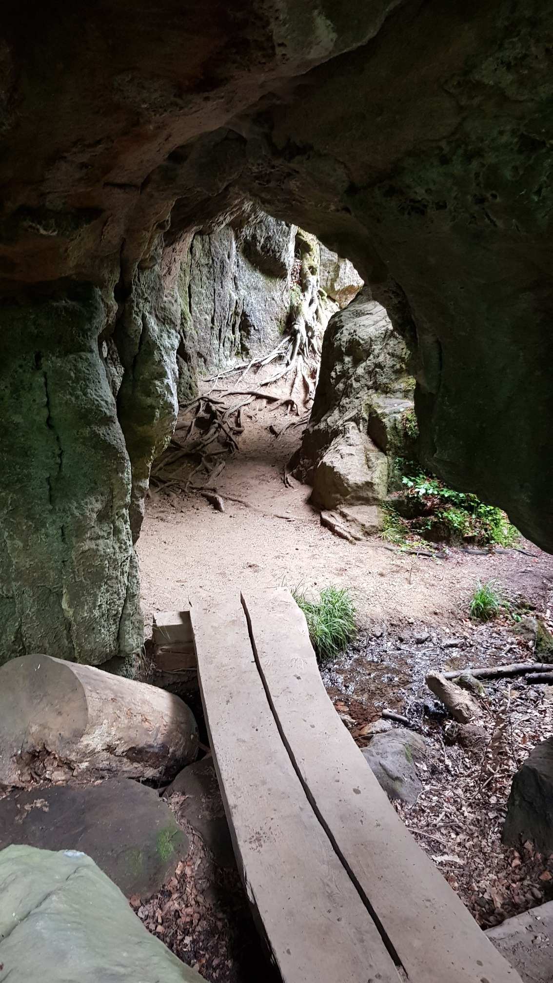
Michel's Church (Hermit's Cave)
49.76526, 6.34478Ein Felsspalt / Höhle in der ein Einsiedler namens Michel wohnte.
19.95 km
Finish